The Tiberius Cave
The Tiberius Cave is the final part of a wide natural hole system developing over more than 6 km with a difference in height of 223 meters. These caves drain the waters coming from the area of Mount Tondo. The underground streams, after an outside journey of about hundreds of meters, flow into the River Senio.
The caves develop on more levels: the upper tunnels were left by water due to the gradual fall of the river Senio's level.
Water, by dissolving the gypsum rocks, created an underground net of tunnels, wells and halls which, apart from the tourist stretch, are barely accessible.
The underground and outer mining activity met the caves in several stretches, partially destroyed them and changed the underground way of the water now flowing through an outside quarry tunnel.

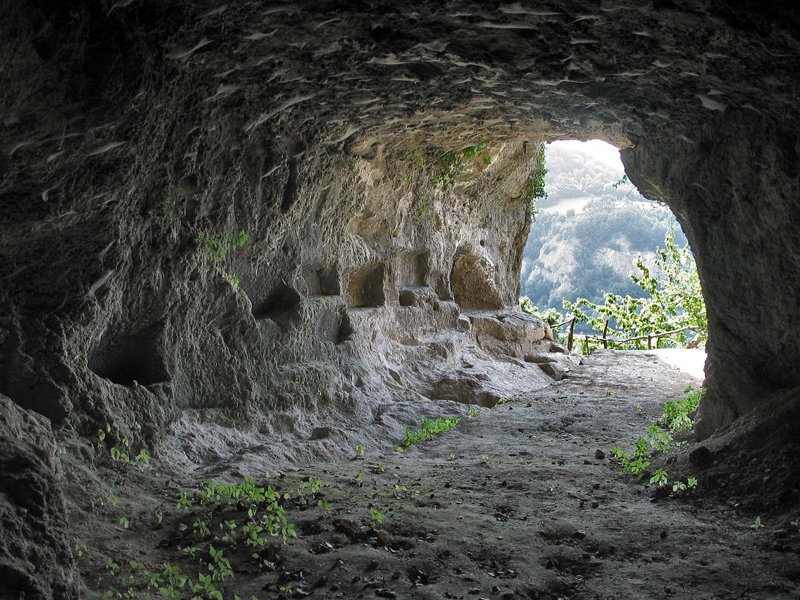
Re Tiberio cave
(photo by Piero Lucci)

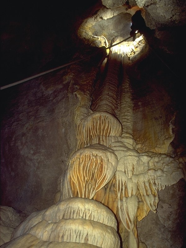
Re Tiberio Cave
(photo by P. Lucci)