- News+
- Press Review
- Job Advertisements
- Travel Suggestions
- Retailers
- Directions
- Itineraries
- News+
- Press Review
- Job Advertisements
- Where to Eat
- Travel Suggestions
- Local Products+
- Products
- Producers
- Retailers
- Facilities
- News+
- Press Review
- Job Advertisements
- Accommodation+
- Where to Sleep
- Where to Eat
- Travel Suggestions
- Local Products+
- Products
- Producers
- Retailers
- Points of Interest
- News+
- Press Review
- Job Advertisements
- Accommodation+
- Where to Sleep
- Where to Eat
- Travel Suggestions
- Retailers
- Books, DVDs, and Gadgets
- Natura 2000 Network+
- IT4050004 - SIC Bosco della Frattona
- IT4070011 - SIC-ZPS Vena del Gesso Romagnola
- IT4070016 - SIC Alta Valle del Torrente Sintria
- IT4070017 - SIC Alto Senio
- IT4070025 - SIC Calanchi pliocenici dell'Appennino faentino
- IT4090001 - SIC Onferno
- IT4090002 - SIC Torriana, Montebello, Fiume Marecchia
- IT4090003 - SIC-ZPS Rupi e Gessi della Valmarecchia
- IT4090004 - SIC Monte S.Silvestro, Monte Ercole e Gessi di Sapigno, Maiano e Ugrigno
- IT4090005 - SIC-ZPS Fiume Marecchia a Ponte Messa
- IT4090006 - SIC-ZPS Versanti occidentali del Monte Carpegna, Torrente Messa, Poggio di Miratoio
- Education+
- Education
- Educazione Ambientale Adulti
- Education
- Park Authority

Parco Regionale della
Vena del Gesso Romagnola
Home » Territory » Parco Regionale della Vena del Gesso Romagnola » Itineraries » Paths in the Park
Mt. Mauro Ring-route


- Duration: 7 hour/s
- Length: 11 km
The itinerary leaves from the dirt road climbing to the summit of Mt. Mauro (515 meters), the highest summit of Vena del Gesso.
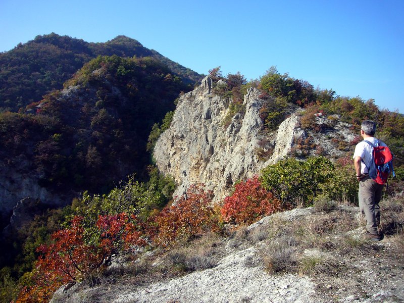
This itinerary, the most complete and fascinating which gives the opportunity to discover all the main features of Vena del Gesso Romagnola Park, is characterized by a length of about 11 kilometers and a walking time of about 7 hours, without considering the stop for the packed lunch you can eat in one of the many clearings you will meet along the way. The stretch going along the gypsum ridge, between Mt. della Volpe and Mt. Mauro, requires some attention, above all in case of rain.
You can also take this itinerary from Borgo Rivola, from the car park the Park has equipped as departure point of both Riva di San Biagio ring-route and Mt. Mauro ring-route, crossing the valley bottom SP road and going downhill until you reach a well-marked trail leading to the oxbow of torrent Senio, after crossing a small footbridge. Once you reach the opposite bank of the torrent, go uphill towards Crivellari along an asphalt road developing in the woodland of downy oaks, hop hornbeam, and manna ash.
More info


